 eKhajana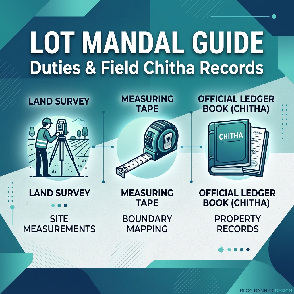
For anyone dealing with land records, partition, or e-Khajana payments in Assam, the term Lot Mandal is very familiar. However, many people do not know exactly what a Mandal does, or what the official document called Chitha means. Understanding their roles can help you resolve land issues much faster.
Here, I will explain the role of a Lot Mandal and the importance of the village Chitha book in simple terms.
Who is a Lot Mandal?
A Lot Mandal (often simply called Mandal) is a field-level land revenue officer appointed by the Revenue Department of Assam. Each revenue circle is divided into small blocks called "Lots", and one Lot Mandal is assigned to manage each Lot.
The Mandal is the direct contact point between landowners and the government. Their main responsibilities include:
- Conducting physical land surveys and plotting boundaries on maps.
- Verifying land details during sales, purchases, or inheritance (mutation/Namjari).
- Reporting land class conversions (e.g. from agricultural to residential).
- Assessing land damages during natural disasters like floods.
The Historical Significance of the Lot Mandal
The Lot Mandal system has its roots in the colonial-era British land revenue administration of Assam. When the British formalized land records in the 19th century, they needed local officers who understood the geography and social fabric of each village. The Lot Mandal became this crucial link between the centralized revenue administration and the village-level reality.
Even today, despite massive digitization through the Dharitree portal, the physical role of the Lot Mandal remains irreplaceable. No satellite map or computer system can fully replace the ground-truth knowledge that a Lot Mandal has about the boundaries, disputes, and ownership claims in their jurisdiction.
Detailed Duties of a Lot Mandal in Assam
Beyond the basics, a Lot Mandal carries out the following specific duties:
- Khasra Verification: During periodic government surveys, the Lot Mandal measures each plot (Dag) and records the exact area in Bigha-Katha-Lecha units in the field book.
- Crop Survey Reports: During agricultural seasons, Mandals submit crop cultivation reports to the circle office. These reports help the government assess agricultural health and plan subsidies.
- Flood Damage Assessment: After floods, the Mandal surveys damaged croplands and submits crop loss reports used to calculate government compensation to affected farmers.
- Boundary Dispute Resolution: When neighbors dispute boundaries, the Mandal is often the first authority called to measure and adjudicate based on their Chitha records.
- New e-Khajana Verification: As described earlier, all new e-Khajana applications go to the Lot Mandal first for digital verification before the tax amount is calculated.
What is the Field Chitha?
The Chitha is the official field register book maintained manually by the Lot Mandal for every village. It is a detailed master log of all land plots (Dags) in the village.
For every Dag (plot) in the village, the Chitha records:
- The exact area size of the plot.
- The names of the landowners (Pattadars).
- The classification of soil (e.g., Basti, Rupit, Faringati).
- The type of Patta (Myadi or Eksonia).
- The crops grown on the land and mutation transaction history.
The Relationship Between Chitha and Jamabandi
Many people confuse the Chitha with the Jamabandi. They are related but distinct documents:
- Chitha: The field-level raw register maintained by the Lot Mandal. It is the primary source document, maintained on paper and updated through direct ground surveys. It is the most detailed and accurate record of physical land details.
- Jamabandi (RoR): A compiled and officially certified land record document prepared from the Chitha and other survey data. The Jamabandi is prepared periodically and is the document issued to citizens and available on the Dharitree portal.
Think of the Chitha as the raw notebook of a teacher and the Jamabandi as the official school report card. The report card is derived from the notebook but serves as the official record.
Why are they important for e-Khajana?
When you apply for e-Khajana online, the system sends your details to the Lot Mandal. The Mandal opens their physical Chitha book, verifies if your Dag/Patta details match your online application, checks the land class, and calculates the applicable tax rate. Without the Mandal's verification in the online system, your e-Khajana tax amount cannot be updated, and your payment remains pending. That is why the Lot Mandal plays the most critical role in the online land records of Assam.
How to Contact Your Lot Mandal?
Unlike higher officials, Lot Mandals do not usually have published office hours or public phone numbers. Here's how to find and contact your area's Mandal:
- Ask at the Revenue Circle Office: The circle office maintains a register of all Lot Mandals under their jurisdiction with contact details.
- Ask village elders or the Gaonbura: The village headman (Gaonbura) usually knows the Lot Mandal personally and can direct you.
- Ask the local Gram Panchayat Secretary: Panchayat offices often have the Mandal's contact number.
- Check the Assam Revenue Department's official portal: Some districts publish Lot Mandal contact lists on their official websites.
Common Problems & Troubleshooting
- Lot Mandal claims your Dag number doesn't exist in their Chitha: This can happen if the Dag number was changed during a re-survey. Request the Mandal to check the index map (Mauza Index) using your old land receipt details to cross-reference.
- Chitha shows a smaller area than your sale deed: This discrepancy needs to be formally investigated. Apply for an area correction under Mission Basundhara and request the Circle Officer to authorize a fresh measurement survey.
- Mandal is unresponsive for months on your e-Khajana application: Escalate to the Circle Officer with a written complaint. The RTPS Act mandates timely action, and the CO can issue directives to the Mandal.
Frequently Asked Questions
Q: How many villages does one Lot Mandal typically manage?
The number varies by area. In densely populated districts, a Lot Mandal may manage 5 to 10 villages. In sparsely populated districts with large geographic areas, one Lot Mandal might cover an entire Mouza with 20 or more villages. This can make them very busy, which is why processing times can be slow.
Q: Is the Chitha book publicly accessible?
The Chitha is an official government register and is not a public document in the same way as the Jamabandi. However, under the RTI Act, citizens can request certified copies of relevant Chitha entries pertaining to their own land by filing an RTI application with the Public Information Officer (PIO) at the Revenue Circle Office.
Q: Can the Lot Mandal make unauthorized changes to the Chitha?
This is a known risk in some areas. Any unauthorized changes to the Chitha by a Lot Mandal without proper survey orders from the Circle Officer constitute a criminal offense. If you suspect fraudulent changes, file a written complaint with the Circle Officer and the Divisional Commissioner's office immediately.
Q: What is the salary and qualification of a Lot Mandal?
Lot Mandals are grade-D government employees in Assam's Revenue Department. They are typically Class 10 passed and go through departmental training. Their salary is under Assam state pay scale. Despite their modest pay, they hold enormous responsibility as the primary land record maintainers at the village level.
Q: Can I challenge the Lot Mandal's survey finding?
Yes. If you disagree with the Lot Mandal's survey measurement or boundary determination, you can file a formal appeal with the Circle Officer. The CO can order a re-survey by a different officer or appoint an expert surveyor to re-measure the disputed land.
Conclusion
The Lot Mandal and the Chitha book are the foundation stones of Assam's land revenue system. Despite the rapid digitization happening under Mission Basundhara and Dharitree, the ground-level role of the Lot Mandal remains essential. Understanding who your Lot Mandal is, where to find them, and what the Chitha contains will help you navigate any land record challenge much more effectively. Build a respectful working relationship with your area's Mandal — they are your most important local ally in land matters.
How the Field Chitha is Maintained
The Field Chitha is a highly structured document. It is divided into columns recording:
- Dag Number: Physical identification of the plot.
- Land Area: Measured in Bighas, Kathas, and Lesas.
- Class of Soil: E.g., Basti (residential), Rupit (paddy cultivation), or Faringati (dry land).
- Pattadar Details: Names, father's names, and addresses of all owners.
Frequently Asked Questions
Q: What is a Lot Mandal?
A: A Lot Mandal is a government-appointed land records surveyor who maintains the field book (Chitha) and village maps for a specific lot of villages.
Q: What is the Chitha in land records?
A: The Chitha is the primary master register listing every land plot (Dag) in a village, along with its area, classification, and owner details.
Q: How can I contact my local Lot Mandal?
A: You can find their office inside the local Revenue Circle Office block. They are usually available for public meetings on specific days of the week.
Q: Can a Lot Mandal make changes to my land area on their own?
A: No, any change in land area or boundaries requires a formal application, field survey, and the official approval of the Circle Officer.
Q: Is the Chitha available online?
A: The raw Chitha book is maintained physically by the Mandal. However, the data from it is digitized and available as the online Jamabandi on the Dharitree portal.